
R & R Flight Service, Inc
Categories
Agriculture
Hours:
Call for an appointment
Driving Directions:
West of Mendota on N 42nd Rd
About Us
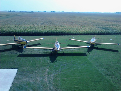
Fungicide/Pesticide Aerial Application:
- Application Data Maps
- Timely Application
- Uniform Spray Coverage
Dry Applications:
- Cover Crop Seeding
- Granules
- Fertilizer
AgSync Mapping Software:
- Links Accurate shape file maps with airplanes GPS systme
- Creates the ability to fly directly to fields more efficiently
- Application data from GPS overlaid on Google earth image
Images
